Five modules on one geoscience platform
Each module is a focused application for its domain — enterprise GIS, groundwater, geotechnical, data, and fleet — sharing one governed foundation, one map, and one AI layer.
Modules of the platform
A connected set of geoscience modules
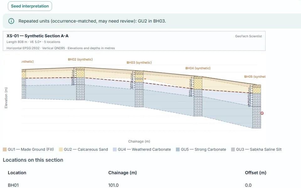
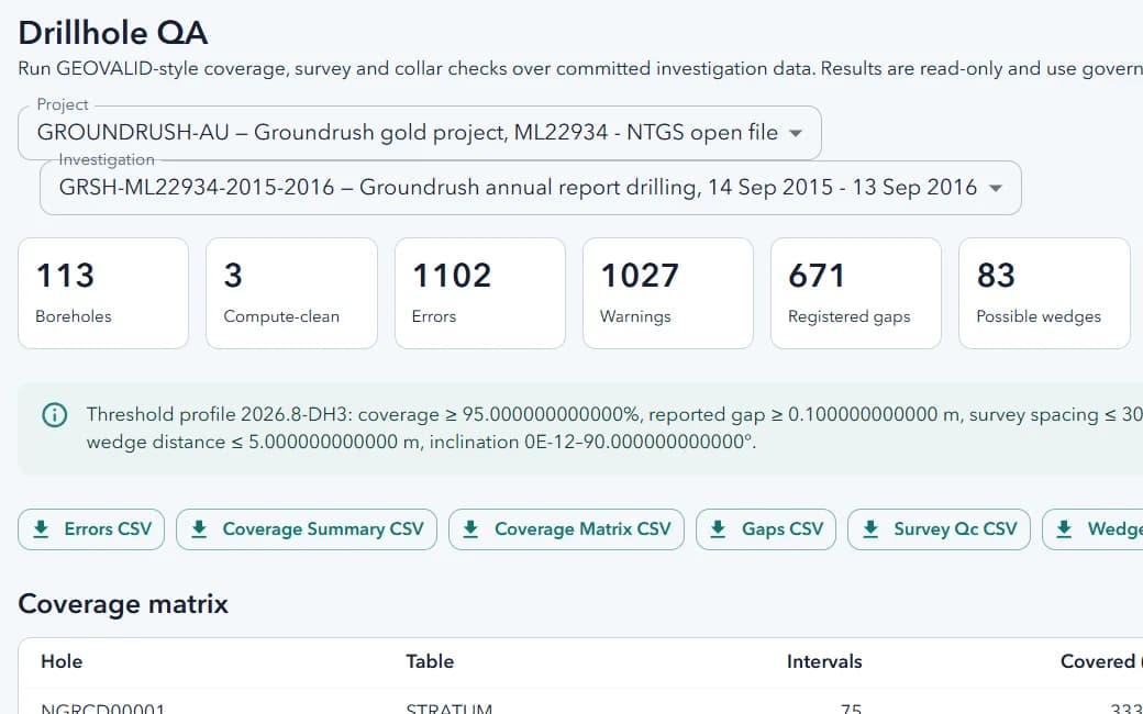
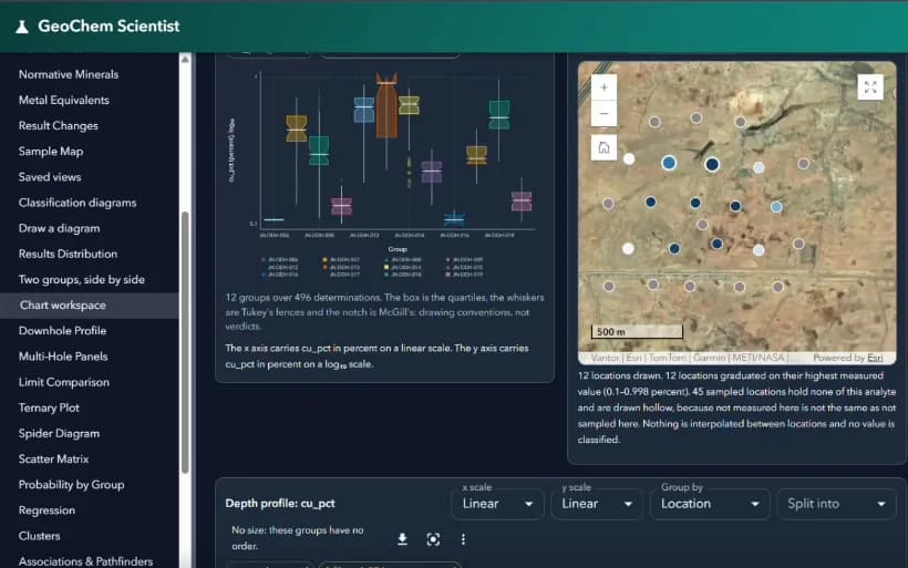
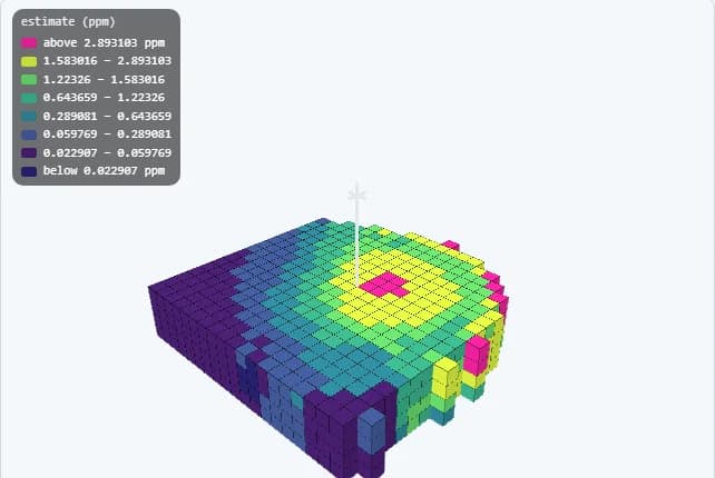
Plato GIS, Hydro GeoScientist, GeoTech Scientist, Data Hub, and Fleet Management share a common geoscience foundation, each extending it into a focused operational domain.
Compare products
Choose the product aligned to the operational problem
Plato GIS delivers broad enterprise GIS. Hydro GeoScientist specializes in groundwater and hydrogeology. GeoTech Scientist covers geotechnical investigation. Data Hub is the data foundation, and Fleet Management runs field operations.
Common platform foundation
Shared geospatial foundation, product-specific extensions
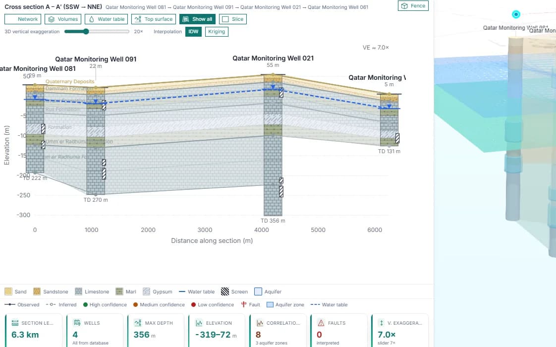
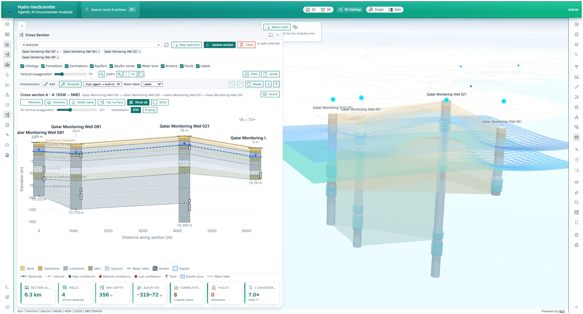
SpatialTechSolutions products share platform foundations where appropriate, then extend into product-specific workflows for broad enterprise GIS or groundwater intelligence.
AI agent orchestration
79 registered geospatial tools
Spatial analytics and map production
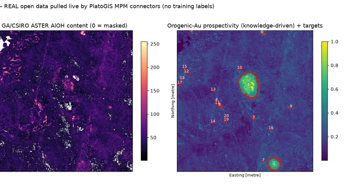
Remote sensing and imagery integration
Data Hub and data management
Enterprise deployment and integration support
Request demo
Talk to SpatialTechSolutions about the right product for your organization
Request a tailored walkthrough for Plato GIS, Hydro GeoScientist, enterprise GIS services, AI-enabled geospatial applications, groundwater monitoring, remote sensing, Data Hub workflows, 3D visualization, or spatial analytics.