One connected platform for the whole mine.
Geoscience, planning, production and monitoring on shared data — with scientific computing, GIS and AI underneath all of it.
Connected data
Drilling, field, laboratory, sensor and model data land once in a governed record every application reads.
Scientific applications
Real domain tools for geology, ground, water, planning and production — not one generic viewer.
Decisions you can defend
Deterministic compute and governed AI, with the inputs and parameters behind every result on the result itself.
The mine lifecycle
Eight stages. One chain of evidence.
Pick a stage to see what it produces and which applications sit behind it.
Stage 1 · Explore
Screen the ground
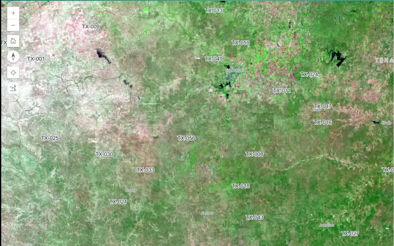
Imagery, terrain, and exploration geochemistry narrow a lease to the targets worth drilling.
- Reads
- Tenement boundaries, imagery archives and historical work
- Produces
- Ranked targets and a drilling programme
Solutions
Start where your problem is.
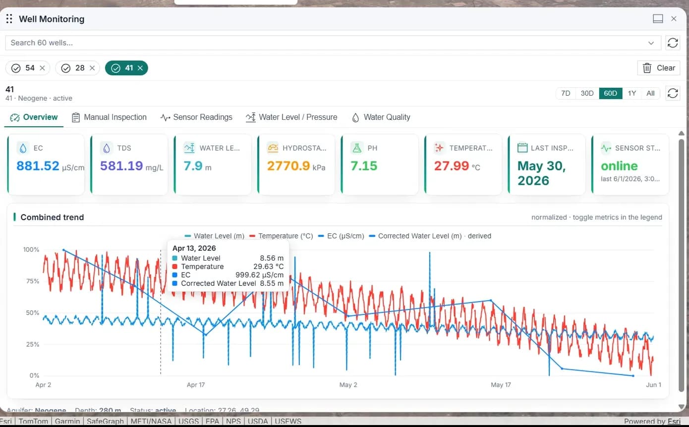
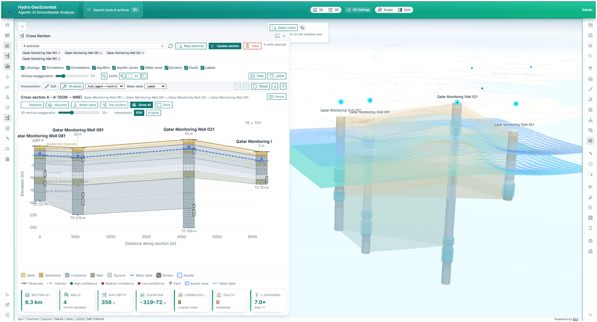
What it actually looks like
Real models. Real data. In a browser.
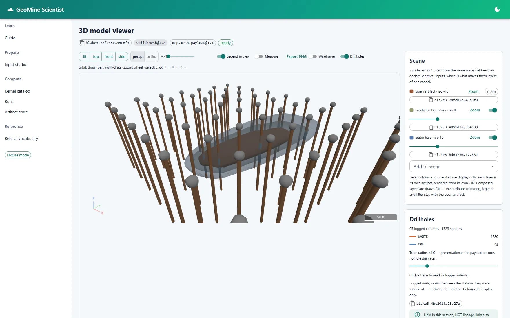
Geological modelling
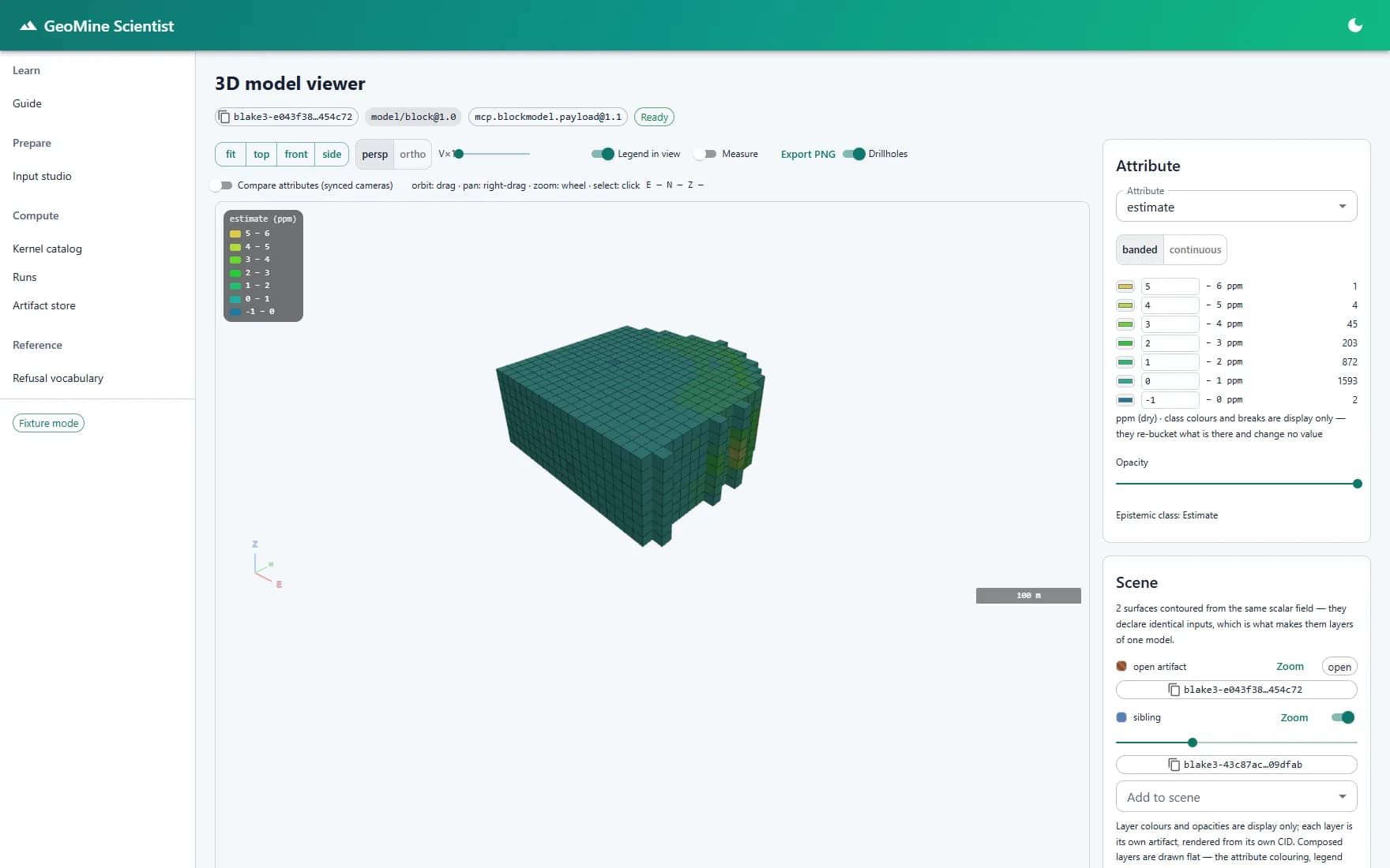
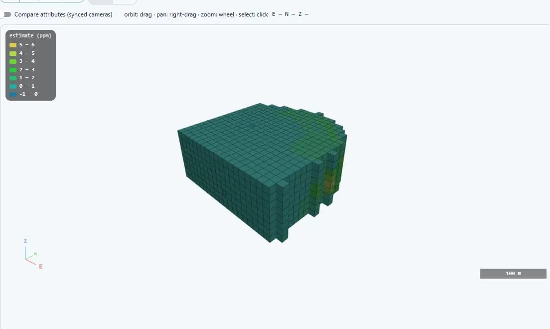
Nested grade shells contoured from one implicit field, with the drillhole traces they came from in the same scene.
See it in the product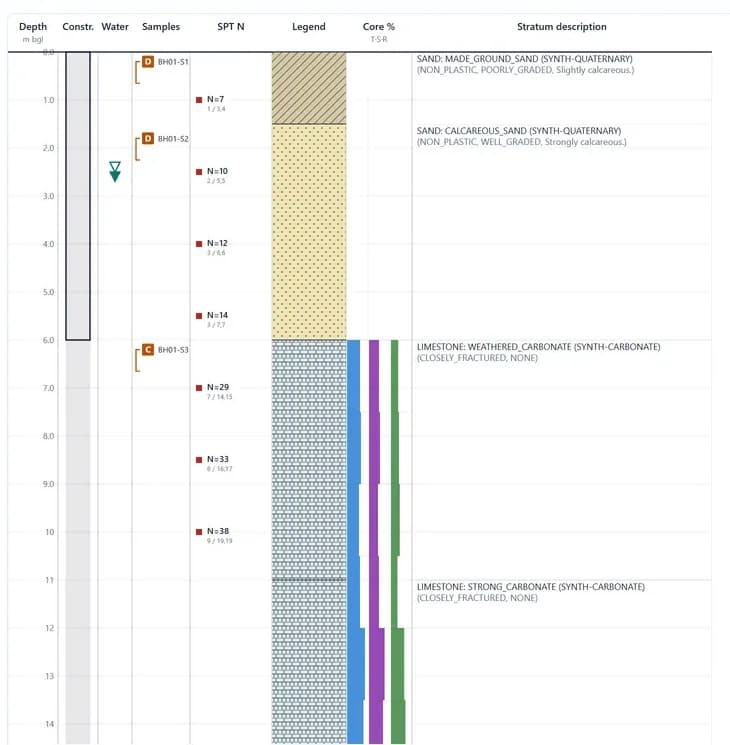
Ground engineering
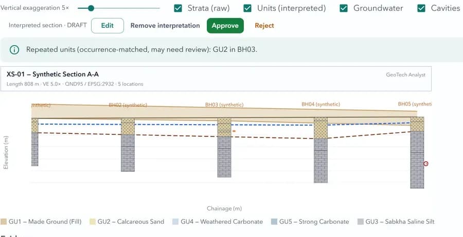
Lithology, SPT values, samples and water strikes on one log sheet.
See it in the product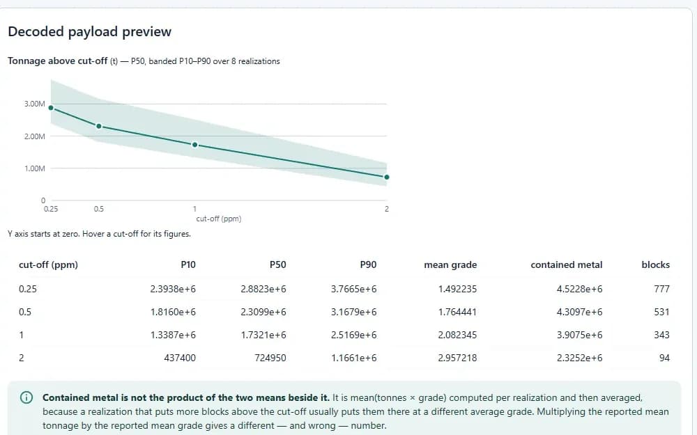
Resource reporting
Grade–tonnage above cut-off, with a P10–P90 band across realizations.
See it in the productImagery & monitoring
Sentinel bands and spectral indices over the lease, in the browser.
See it in the productOne source of truth
Data enters once and is reused everywhere.
A new study finds the previous one in seconds instead of searching for it for weeks.
- 10
- Applications on one governed platform
- 30+
- Compute kernels — drillholes to a resource statement
- 79+
- Registered tools an AI agent can call
- 100%
- Browser-based — nothing to install
See it on your deposit.
A walkthrough on your own drillholes, your ground conditions, and your water.
Request a demo